|
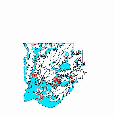
Width: 400 Height: 400 Extent:
YMin: 3503961.1759863803 XMax: -1.0233250559887856E7 YMax: 3602386.3728367733 Spatial Reference: 102113 (3785) Scale: 929999.9999999929 |
| ArcGIS REST Services Directory | Login | Get Token |
| Home > services > Floodmaps > Acadia_EFF_DFIRM_20101126 (MapServer) > export | Help | API Reference |

|
Width: 400 Height: 400 Extent:
YMin: 3503961.1759863803 XMax: -1.0233250559887856E7 YMax: 3602386.3728367733 Spatial Reference: 102113 (3785) Scale: 929999.9999999929 |