|
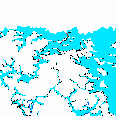
Width: 400 Height: 400 Extent:
YMin: 3538670.0219621602 XMax: -1.0116901309591565E7 YMax: 3550973.171568459 Spatial Reference: 102113 (3785) Scale: 116249.99999999472 |
| ArcGIS REST Services Directory | Login | Get Token |
| Home > services > Floodmaps > Ascension_EFF_DFIRM_20211014 (MapServer) > export | Help | API Reference |

|
Width: 400 Height: 400 Extent:
YMin: 3538670.0219621602 XMax: -1.0116901309591565E7 YMax: 3550973.171568459 Spatial Reference: 102113 (3785) Scale: 116249.99999999472 |