|
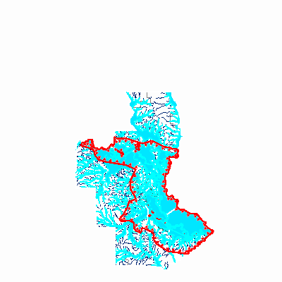
Width: 400 Height: 400 Extent:
YMin: 3670731.549343484 XMax: -1.0280713698959239E7 YMax: 3836491.1147209727 Spatial Reference: 102100 (3857) Scale: 1566228.9813388153 |
| ArcGIS REST Services Directory | Login | Get Token |
| Home > services > Floodmaps > Natchitoches_EFF_DFIRM_07062015 (MapServer) > export | Help | API Reference |

|
Width: 400 Height: 400 Extent:
YMin: 3670731.549343484 XMax: -1.0280713698959239E7 YMax: 3836491.1147209727 Spatial Reference: 102100 (3857) Scale: 1566228.9813388153 |